



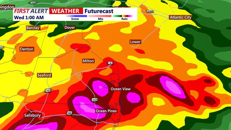

DELMARVA - The strongest thunderstorms should gradually move away from Sussex County late Tuesday night, but additional storms could redevelop Wednesday and bring another risk of damaging winds and flooding.
A Tornado Watch remains in effect until 9 p.m. Tuesday, while a Severe Thunderstorm Watch continues until 10 p.m. The primary hazards through the evening include damaging straight-line winds, isolated tornadoes, hail, frequent lightning and torrential rainfall.
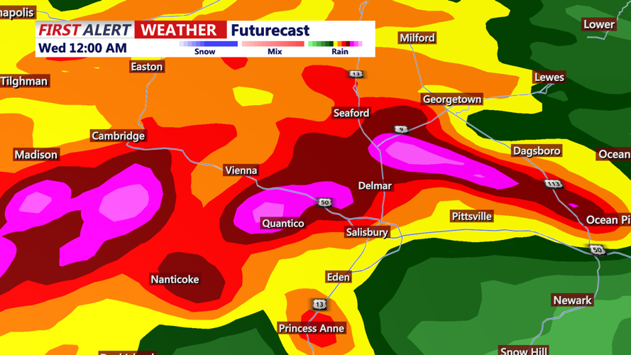
Storms could produce rainfall rates of 1 to 3 inches per hour. Localized flash flooding may occur where thunderstorms repeatedly move across the same communities, especially in poor-drainage areas and locations that have already received heavy rain.
Thunderstorm coverage should decrease overnight as a cold front slowly moves across the region. However, scattered showers and storms may linger into early Wednesday morning. Areas of fog could also develop where heavy rain falls.
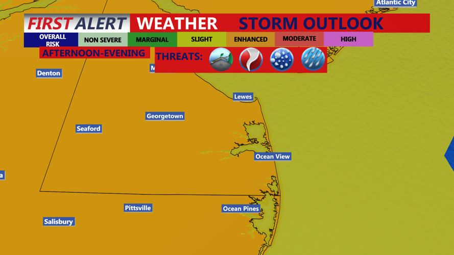
The front is expected to remain close enough to Sussex County for another round of showers and thunderstorms Wednesday, particularly during the afternoon and evening. The atmosphere will remain warm, humid and unstable, allowing some storms to become strong or severe.
Damaging wind gusts will be the main threat Wednesday, although frequent lightning, intense rainfall and localized flash flooding will also be possible. Rainfall concerns are expected to be more localized than Tuesday, but any slow-moving storm could quickly flood roads and low-lying areas.
Residents and visitors should remain weather-aware, keep multiple ways to receive warnings and avoid driving through flooded roads. Conditions should begin improving late Wednesday night as the cold front moves offshore, with drier weather expected Thursday and Friday.
