






DELMARVA - Showers and thunderstorms affecting parts of the region will gradually diminish late tonight as the strongest activity shifts away from southern Delaware and Maryland’s Eastern Shore.
Across Sussex County and south toward Ocean City, Maryland, skies will remain partly to mostly cloudy overnight. An isolated shower or thunderstorm cannot be ruled out early, followed by generally quieter conditions. Patchy fog may develop toward daybreak, particularly in areas that receive rainfall. Overnight lows will settle into the upper 60s to lower 70s.
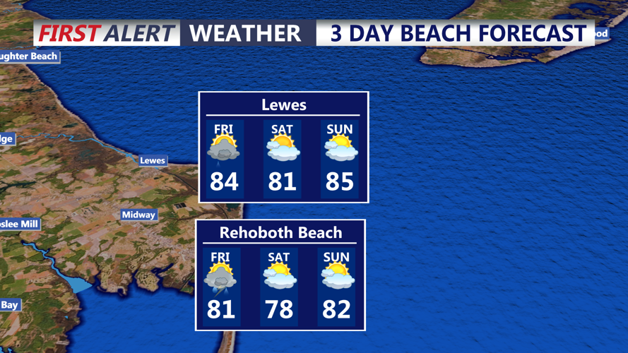
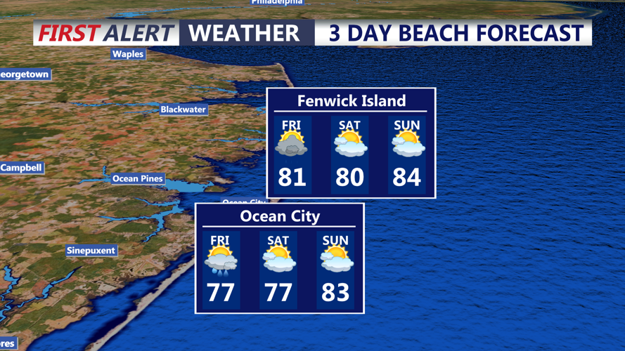
A cold front will move across the region Friday, bringing another opportunity for scattered showers and thunderstorms. The timing of the front will play a major role in how much thunderstorm activity develops. Any storms that form could produce locally heavy rain and gusty winds, although the greater severe-weather threat is expected to remain north and west of the immediate Sussex County and Ocean City area.
Friday will remain warm and humid ahead of the front, with highs generally reaching the mid-80s. Winds will initially be from the west at 5 to 10 mph before becoming southwesterly during the afternoon.
Along the Delaware beaches and into Ocean City, breaking waves of around 2 to 3 feet are expected. The rip-current risk at Delaware beaches is forecast to remain low Friday, but swimmers should continue to use guarded beaches and pay attention to changing surf conditions.
Showers and thunderstorms should decrease Friday evening and Friday night as the cold front pushes offshore. Drier air will begin filtering into the region, setting the stage for improving conditions heading into the weekend.
