


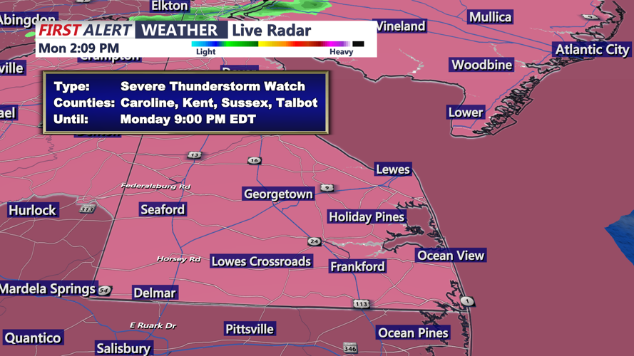


DELMARVA - A severe thunderstorm watch that covered much of the region expired at 9 p.m. Monday, but the threat for showers, storms and heavy rain will linger into the overnight hours from Sussex County, Delaware, south to Ocean City, Maryland.
Low pressure moving through the region brought rounds of showers and thunderstorms Monday afternoon and evening. While the strongest storms were expected earlier in the evening, additional showers and a few thunderstorms remain possible overnight as the system slows down.
The main concerns continue to be heavy rain, localized flooding and gusty winds. The severe weather threat should gradually diminish through the night, though pockets of heavier rainfall could still create areas of poor drainage or street flooding.
Tuesday is now expected to stay unsettled, with the frontal system slower to move away from Delmarva. Additional rounds of showers and storms are likely, especially during the afternoon. A few storms could become strong to severe across southern Delmarva, including Sussex County.
Conditions should gradually improve Tuesday night as the low pressure system finally pulls away from the coast.
Beachgoers should also remain aware of changing surf conditions. A moderate rip current risk was forecast Monday for the Delaware beaches, while conditions are expected to improve Tuesday with a lower rip current risk.
More showers and thunderstorms may return late in the week as another cold front approaches the region, with rain chances increasing again Thursday night into Friday.
