


DELMARVA - Sussex County will remain under the influence of an upper-level trough moving eastward from the Midwest, triggering rain across the region. A developing coastal low will lift northward, spreading moderate to heavy rainfall, particularly overnight. Isolated thunderstorms are possible, especially in southern Delaware, with some elevated instability in the atmosphere. Gusty onshore winds—especially near the coast—will begin to diminish overnight as the pressure gradient relaxes. Expect lingering drizzle or light showers into the early hours of Thursday.
THURSDAY:
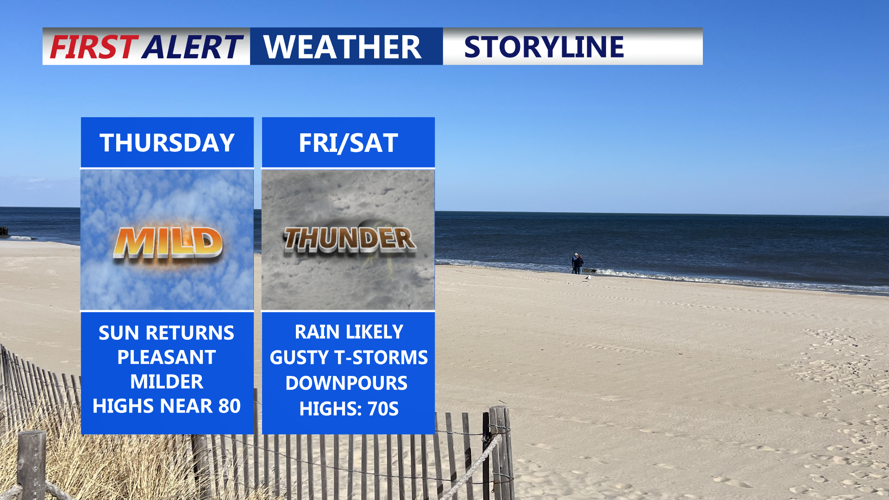
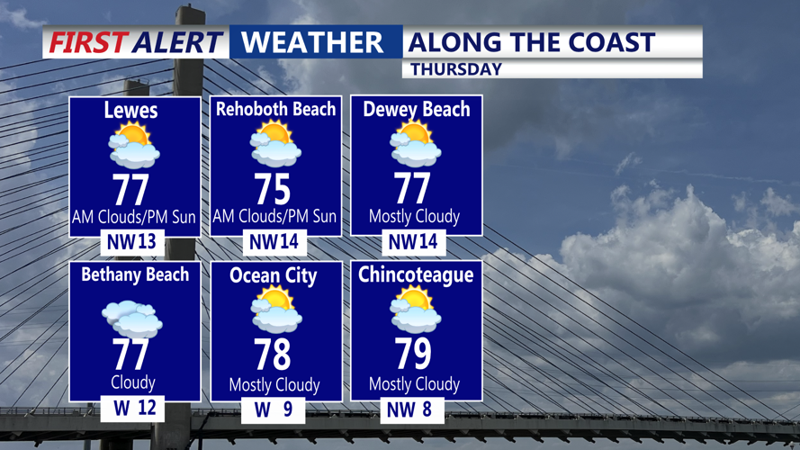
Rain should mostly taper off by daybreak, with only a few leftover sprinkles or patchy drizzle early. As the system pulls away, drier air will filter in behind it, gradually breaking up the cloud cover. Expect partly sunny skies by the afternoon and warming temperatures reaching into the low to mid 70s—even near the coast, thanks to a more offshore wind direction. The day will likely stay mostly dry, though a brief afternoon shower cannot be entirely ruled out due to lingering moisture and surface heating.
THURSDAY NIGHT INTO FRIDAY:
Another cold front will approach Thursday night, bringing increased chances for showers and possible thunderstorms—especially late at night and into Friday. Lows will range from the upper 50s to low 60s. By Friday afternoon and evening, a developing low to the southwest could enhance storm coverage. Some storms may become strong, and there’s a marginal risk of severe weather. Locally heavy rainfall is possible as well. Highs on Friday will climb into the low to mid 70s.