


DELMARVA - Sussex County will enjoy another stretch of dry and pleasant weather starting early Tuesday and continuing through early Thursday morning, thanks to a high-pressure system anchored offshore of the southern Mid-Atlantic.
Tuesday begins with light winds and abundant sunshine as southwesterly flow develops, helping to usher in a warming trend. High temperatures Tuesday afternoon will reach the upper 70s to low 80s, marking the beginning of a noticeably warmer pattern.
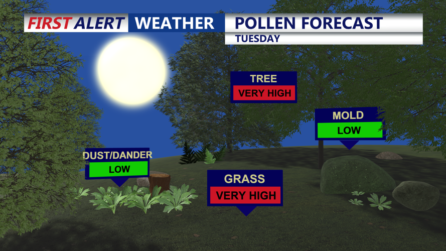
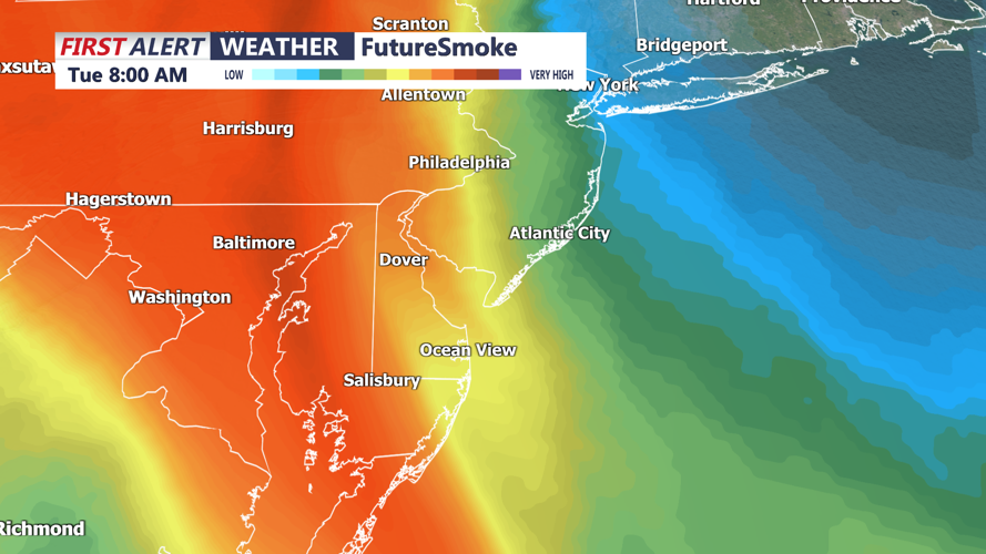
Skies remain mostly clear overnight into Wednesday with mild lows in the upper 50s to low 60s. Smoke from distant western wildfires remains aloft over the region, but forecasters say there is only a small chance of it mixing down to the surface and affecting air quality or visibility.
By Wednesday, the offshore high pressure continues to dominate the local weather. Winds will gradually shift more southerly, drawing in warmer and more humid air. Highs will climb into the mid- to upper 80s under mostly sunny skies.
Dry weather is expected to hold through Wednesday night into the early hours of Thursday. However, by dawn Thursday, clouds may begin to increase ahead of an approaching cold front that could bring unsettled weather to the region later in the day.
For now, Sussex County can expect calm and seasonably warm conditions to hold through early Thursday, making this a favorable window for outdoor plans and travel.