


DELMARVA - Expect increasing clouds overnight Thursday as a warm front lifts north across Sussex County. Winds will shift from southeast to southwest, helping to usher in mild, moist air. Scattered showers are possible, especially farther inland, and a few embedded thunderstorms could develop thanks to elevated instability aloft. Rainfall amounts should be light overall, though some isolated higher totals are possible in thunderstorm-prone areas. Overnight lows will remain mild, hovering in the upper 50s to lower 60s.
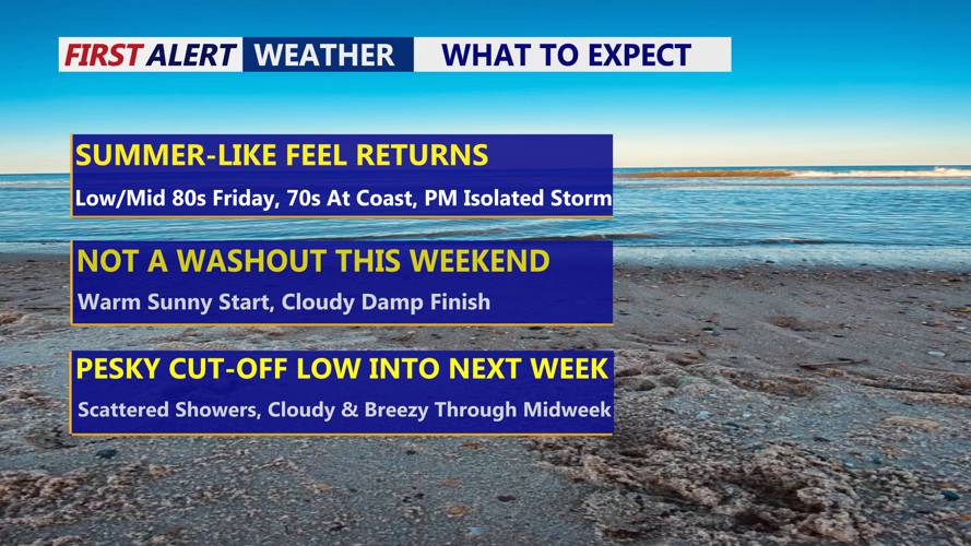
Friday brings a noticeable change with the warm front firmly north of the area. Temperatures will rise sharply under partly sunny skies and a southerly breeze. Inland areas could approach or even hit the 90-degree mark, while coastal cities like Rehoboth Beach and Bethany Beach will stay cooler due to the ocean influence. Expect a warm, humid day with dew points climbing and conditions feeling more like summer.
Rain chances remain relatively low through Friday evening. Although some isolated afternoon showers or thunderstorms can't be ruled out, the primary cold front remains west of the region. That front is expected to move in more slowly, likely delaying widespread precipitation until later Friday night or Saturday.
Conditions will stay humid into Friday night, with clouds beginning to build in anticipation of Saturday's frontal passage. Rain and possibly thunderstorms become more likely Saturday, especially inland. Coastal areas may see scattered showers depending on the timing of the front's arrival. The unsettled pattern could continue into early next week as an upper-level low potentially sets up over the region.