


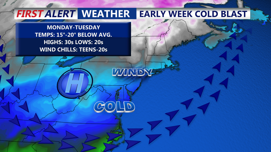

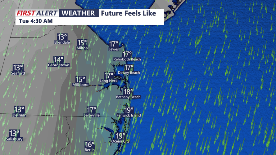

DELMARVA - Late Monday evening will usher in the coldest air Sussex County has felt so far this season as cold air advection deepens across the region. High pressure settling directly overhead will keep winds light, and skies will gradually clear overnight, creating ideal conditions for radiational cooling. While temperatures elsewhere in the region may fall into the teens or even single digits, Sussex County is expected to bottom out mainly in the teens to low twenties. Wind chills will remain close to the actual air temperature due to the calm winds.
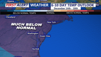
These readings are unusually cold for early winter, and a few climate sites in the Mid-Atlantic could come within a few degrees of record lows.
By Tuesday morning, the Arctic high will begin sliding offshore. Temperatures will remain well below normal, with highs reaching only the mid to upper thirties across Delmarva. As return flow develops behind the departing high, temperatures Tuesday evening will fall back toward the upper twenties and low thirties but may level off or slowly rise toward daybreak Wednesday.
Conditions stay dry through Tuesday night in Sussex County, with a clipper system passing well to the north on Wednesday. That system will bring a period of rain to Delmarva on Wednesday as temperatures moderate into the upper forties to near fifty. Wintry weather will remain confined to areas north of the I-95 corridor, with precipitation tapering late Wednesday as a cold front moves through.
Dry weather returns Wednesday night with lows in the low to mid thirties across Sussex County.
