


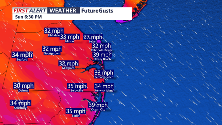


DELMARVA - Light snow is moving out of Sussex County, ending a short window of wintry precipitation that may leave general accumulations of one to three inches. Conditions are turning sharply colder Sunday afternoon. Temperatures are expected to peak early, then fall through the afternoon as strong cold air advection moves in. Northwest winds will increase, with gusts between 25 and 35 mph possible, creating areas of blowing snow and sharply reduced wind chills.
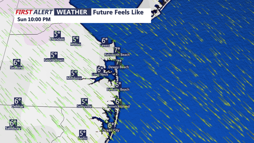
By Sunday evening, wind chills are expected to drop into the single digits across Sussex County, with actual temperatures falling into the teens overnight. Skies may partially clear, but gusty winds will continue through the night as high pressure builds in from the west.
Monday will be mainly dry but cold. Winds are expected to gradually ease through the day, though cloud cover may increase by the afternoon. High temperatures Monday afternoon are forecast to reach the low to mid-30s, offering little relief from the cold that settles in Sunday night.