



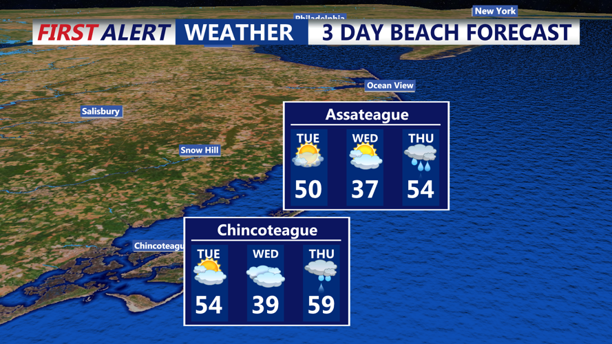
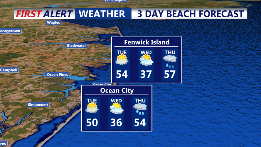

DELMARVA - As of Monday evening, Sussex County is under the influence of a southwest flow, resulting in mild temperatures and partly cloudy skies. Overnight lows are expected to remain in the 40s, providing a relatively warm night for early February.
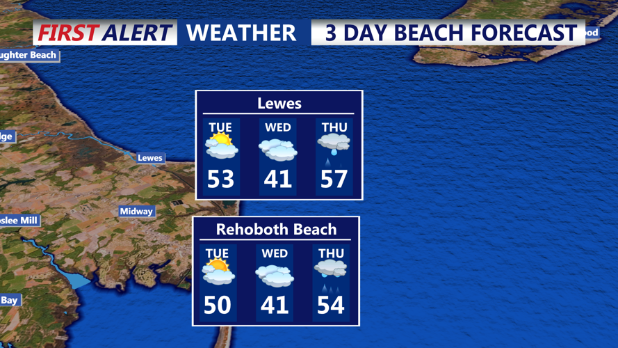
On Tuesday, a cold front is forecasted to move through the region during the morning hours. While this front is not expected to produce any precipitation, residents may notice increased cloud cover in the morning. Despite the frontal passage, temperatures will remain mild, with highs reaching the mid-50s. Winds will shift to the northwest, increasing to 10 to 15 mph, with occasional gusts up to 25 mph.
By Tuesday night, high pressure will build over the Great Lakes and extend into the Northeast and Mid-Atlantic regions, leading to dry conditions and decreasing cloudiness. Temperatures will drop, with overnight lows falling into the 20s.
Looking ahead to Wednesday, the high-pressure system will move offshore, allowing a low-pressure system to approach from the Midwest. This system is expected to bring a mix of precipitation types to Sussex County from Wednesday evening into Thursday. Initially, light snow may develop Wednesday evening as temperatures will be near freezing. As warmer air moves in aloft, a transition to sleet and freezing rain is possible overnight into Thursday morning. By Thursday afternoon, temperatures are expected to rise into the 40s and 50s, changing any remaining precipitation to rain before tapering off later in the day.
Residents are advised to monitor local forecasts for updates, especially concerning the midweek system, as exact precipitation types and amounts will depend on the storm's track and the timing of temperature changes. Stay informed about potential impacts on travel and plan accordingly.
