




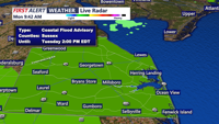

DELMARVA - The nor’easter that brought several days of unsettled coastal weather will continue to weaken and pull away from the region Monday night, allowing conditions across Sussex County to gradually improve through Tuesday evening.
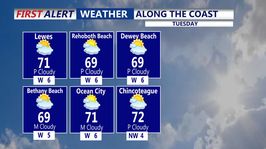
Clouds will remain stubborn Monday night, although breaks are expected to become more common Tuesday as the storm moves farther northeast. Winds will become lighter overnight before settling out of the northwest Tuesday at about 5 to 10 mph.
Most of the lingering showers and sprinkles will end Monday evening, with mainly dry weather expected overnight and through Tuesday. Sunshine should become more noticeable during the day Tuesday, although skies may not become completely clear.
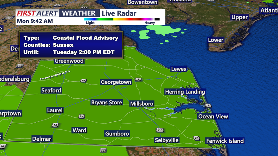
Coastal flooding remains the primary concern, particularly along the back bays and other vulnerable low-lying areas of Sussex County. Water levels are expected to continue receding as winds remain offshore, but minor tidal flooding could persist through Tuesday. A Coastal Flood Advisory remains in effect for Sussex County until 2 p.m. Tuesday.
The Small Craft Advisory for the nearby coastal waters has expired. Seas are expected to run about 2 to 4 feet through Tuesday, with north to northwest winds occasionally gusting near 23 mph before gradually easing.
Beach conditions will also improve. A moderate risk for rip currents Monday is expected to fall to a low risk Tuesday as surf drops to about 2 to 3 feet and offshore winds weaken.
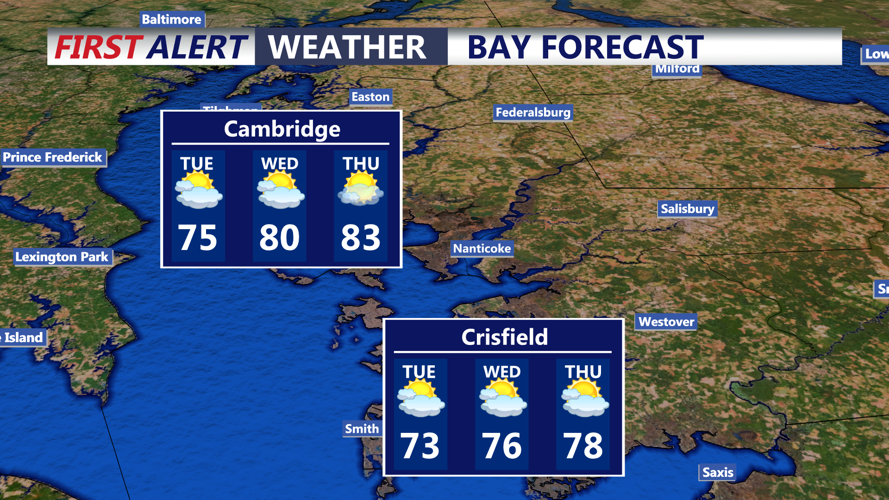
Looking ahead, quieter weather is expected through much of the middle of the week. The next chance for unsettled conditions arrives late Friday into the weekend, when a cold front and developing area of low pressure could bring additional rounds of showers.
