




DELMARVA - The powerful coastal storm affecting Delmarva will slowly loosen its grip Sunday afternoon and evening, but several hazards will remain in place between 3 p.m. and midnight.
The National Weather Service in Mount Holly says the nor’easter is slowly weakening and will continue moving away from the region into Monday and Tuesday. Periods of rain and strong winds have accompanied the storm, along with tidal flooding, dangerous surf and beach erosion.
For Sussex County, scattered to numerous showers will remain possible during the late afternoon, especially near the Delaware coast. Temperatures will generally remain in the lower to mid-60s. Winds will gradually ease but remain noticeable from the west and northwest. Around Lewes, northwest winds near 20 mph with gusts around 35 mph during the day are expected to decrease to 10 to 15 mph Sunday night. Showers will remain likely into the evening before becoming more scattered later at night.
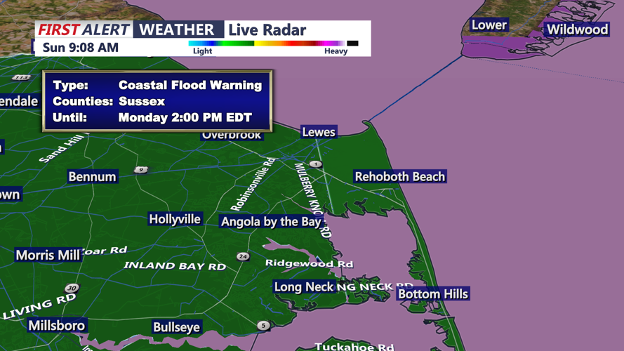
At the Delaware Beaches, the earlier Coastal Flood Warning expires before the 3 p.m. forecast period, but significant coastal hazards continue. A High Surf Advisory remains in effect until 8 p.m., and the High Rip Current Risk continues through Sunday evening. Breaking waves of roughly 2 to 8 feet are possible along the Delaware beaches, creating dangerous swimming and surfing conditions and contributing to additional beach erosion.
The National Weather Service says large waves and strong winds have already produced beach and dune erosion along the Delaware coast. The combination of high surf and powerful rip currents makes entering the ocean dangerous through the evening. Conditions should begin improving Monday as winds turn more offshore and wave heights slowly decrease.
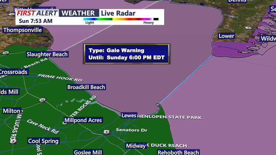
Marine conditions will also remain hazardous. A Gale Warning remains in effect until 6 p.m. for the offshore waters from Cape May to Fenwick Island, where west winds of 20 to 30 mph-equivalent sustained marine speeds, with stronger gusts, and seas of roughly 8 to 13 feet are expected. Conditions should improve Sunday night, although elevated seas may continue.
Farther south, the National Weather Service in Wakefield says Ocean City and Assateague remain under a Beach Hazards Statement and High Rip Current Risk through Sunday evening. Surf heights of 2 to 5 feet are expected, with dangerous shore break capable of causing serious injuries even to experienced swimmers. West winds near 20 mph will accompany mostly cloudy skies and lingering showers.
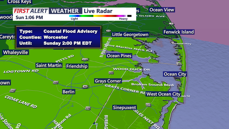
Along the Chesapeake Bay side of Delmarva, a Coastal Flood Warning remains in effect until 8 p.m. for Dorchester, Wicomico and Somerset counties. One to two feet of inundation above ground level is possible in vulnerable shoreline and tidal areas, with some roads potentially becoming flooded or impassable.
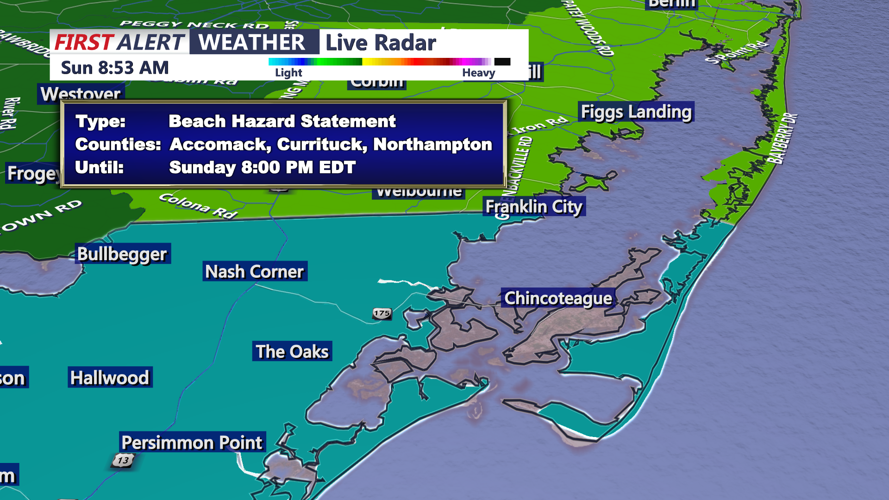
On Virginia's Eastern Shore, earlier coastal flood warnings expire before the 3 p.m. period, but a Beach Hazards Statement and High Rip Current Risk continue through Sunday evening for Accomack and Northampton counties. Offshore from the southern Virginia Eastern Shore, a Small Craft Advisory continues through 1 a.m. Monday, with northwest winds of 15 to 20 mph-equivalent marine speeds, gusting higher, and seas of 5 to 7 feet.
From 3 p.m. through midnight, Sussex County residents can expect cloudy, cool and breezy conditions with periods of showers gradually becoming less widespread. The most significant remaining impacts will be along the beaches and waterways, where rough surf, dangerous rip currents, erosion and lingering high water will remain concerns into Sunday evening.
