


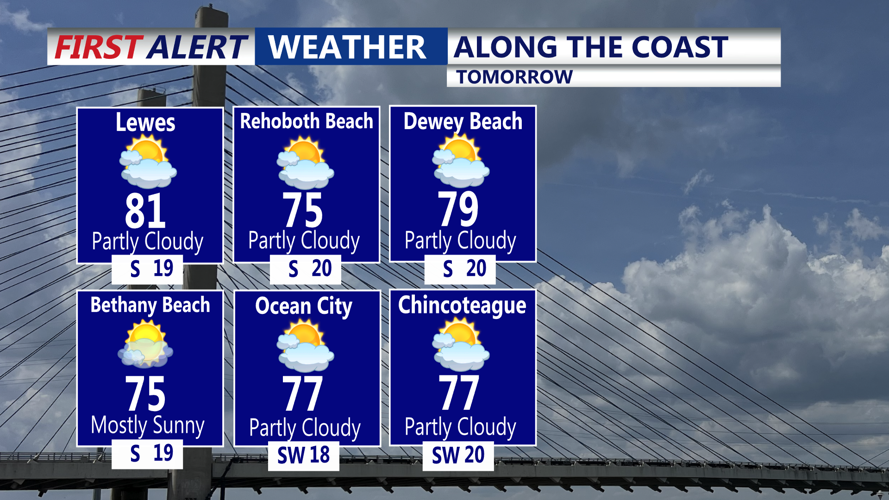


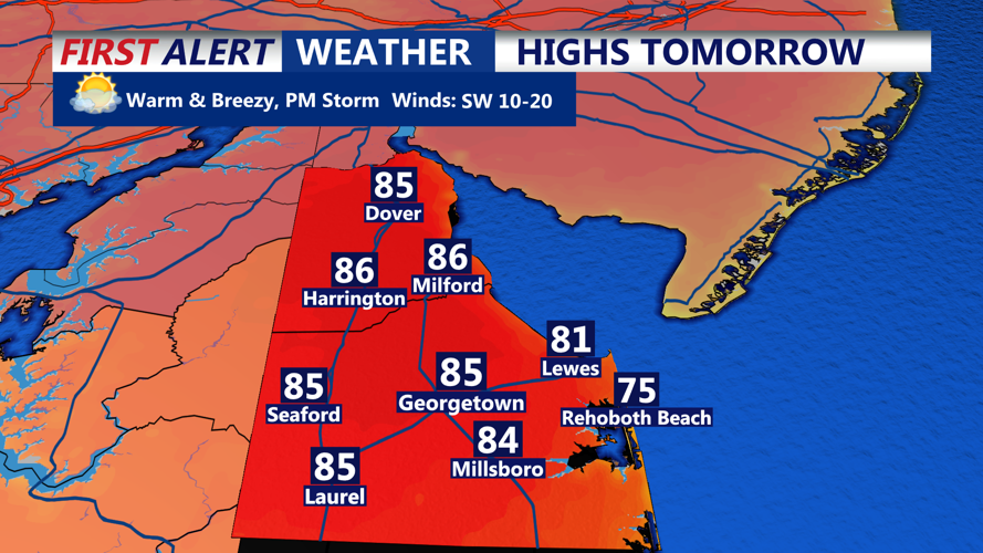


DELMARVA - Sussex County will enjoy a mild stretch through Saturday, with daytime highs climbing into the lower 80s under a mix of sun and clouds. But residents should prepare for increasing chances of rain and thunderstorms beginning late Friday and intensifying Saturday afternoon and evening.
A weak frontal boundary pushing into the region from the northwest will serve as the trigger for scattered showers and possible thunderstorms late Friday night. While much of Sussex County may remain dry overnight, the chance for rain increases heading into Saturday.
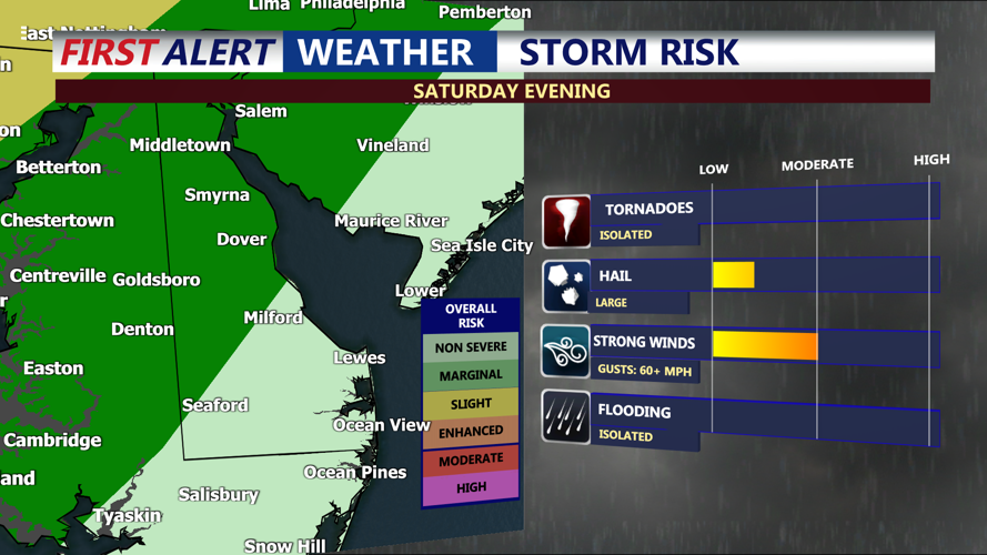
By Saturday afternoon and evening, expect more widespread showers and thunderstorms, especially farther inland. Some storms could become strong, with gusty winds and localized heavy rain possible. While severe weather isn't a major concern for Sussex County specifically, isolated storms with marginally severe hail or wind gusts can’t be ruled out.
Saturday night will stay mild with lows in the 60s, but wet. The approaching cold front is expected to stall in the region, setting the stage for a prolonged stretch of unsettled weather. On Sunday and Monday, off-and-on showers will be the norm as waves of low pressure move along the front. While it won’t be a complete washout, expect rain at times both days. Localized flash flooding may occur in heavier downpours.
Highs Sunday will cool slightly to the 70s, with even cooler temperatures likely Monday as the front sags farther south. By Tuesday night into Wednesday, the pattern begins to shift again as high pressure tries to take hold, potentially bringing drier weather by midweek—though that timing could still shift depending on how the blocking weather pattern breaks down.
For those with outdoor weekend plans in Sussex County, Saturday morning offers the best bet for dry weather, with conditions turning soggy and stormy by the afternoon.