


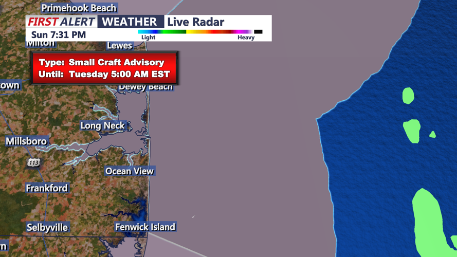

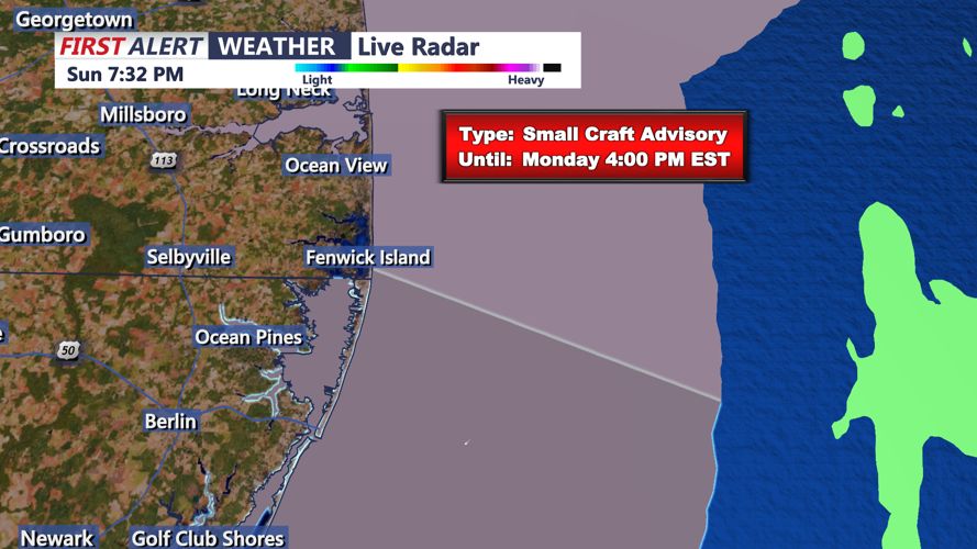


Rain will move into Sussex County late Sunday night, accompanied by gusty winds and the possibility of isolated thunderstorms, according to the National Weather Service (NWS) in Mount Holly. A negatively tilted trough and a cold front trailing a deepening surface low will bring steady rainfall to the region, with totals between a half-inch and an inch expected by Monday morning.
During the overnight hours, a strong low-level jet will develop, with winds at 50 to 60 knots at 850 mb. Heavier showers or isolated thunderstorms could produce gusts of 30 to 40 mph, although elevated instability will limit the overall thunderstorm potential.
By early Monday morning, rain will taper off as the system clears from west to east, ushering in a drier air mass. Skies will begin to clear during the morning hours, with temperatures rising into the lower to upper 50s by the afternoon, remaining mild for late December.
Monday afternoon and evening will see breezy conditions as west-southwest winds strengthen behind the cold front. Gusts of 20 to 30 mph are expected, particularly in open areas. The evening will remain dry, with clear skies continuing and temperatures cooling gradually.
Residents are advised to secure loose outdoor objects and be cautious during periods of heavier rain and wind overnight into Monday morning.