


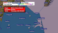


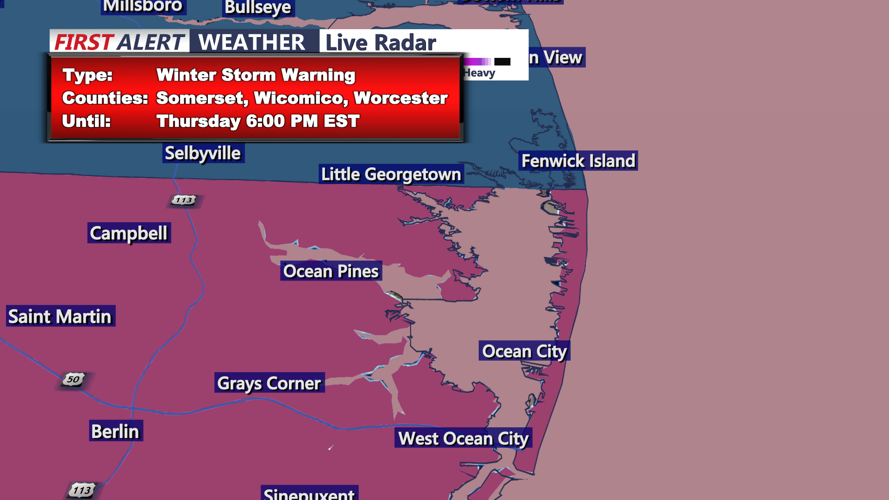

(UPDATED) DELMARVA - A winter storm watch has been issued for Sussex County, Delaware, and Ocean City, Maryland, as a coastal low approaches the Mid-Atlantic. Forecasters anticipate a mix of snow and wind beginning late Tuesday night and continuing through Wednesday afternoon, with accumulation estimates ranging from 1 to 3 inches.
High pressure will initially bring dry but frigid conditions Tuesday night, allowing temperatures to dip into the upper 20s. Winds will gradually diminish overnight as a surface ridge builds eastward. However, by Wednesday morning, increasing cloud cover will signal the arrival of the approaching system, which is expected to track offshore through Thursday.
Snowfall amounts remain uncertain, but ensemble models suggest Sussex County and the lower Delmarva Peninsula will see the highest accumulations in the region. The National Weather Service gives southeastern Sussex County a 40-45% chance of receiving at least 2 inches of snow. Winds will pick up through the day Wednesday, creating periods of reduced visibility.
The storm will exit by Thursday evening, with drier conditions returning into the weekend. Temperatures will remain below average through Friday before a gradual warm-up begins.
Residents should prepare for slick roads and potential travel disruptions. If snowfall amounts hold, winter weather advisories may be issued ahead of the storm.