




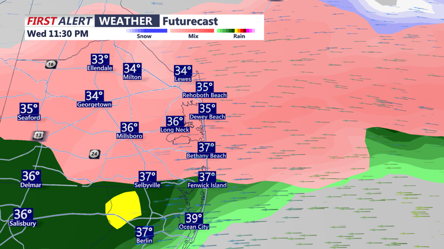
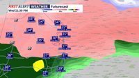

DELMARVA - A powerful low-pressure system tracking eastward will bring a complex mix of winter weather to inland areas of Sussex County, Delaware, beginning late Wednesday night and continuing into Thursday.
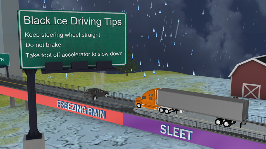
As temperatures drop below freezing Wednesday evening, the initial precipitation is expected to fall as snow, with accumulations of up to an inch possible before midnight. As warm air surges aloft, the snow will transition to sleet and eventually freezing rain, leading to hazardous travel conditions overnight. The inland areas could see up to two-tenths of an inch of ice accumulation, particularly in the early morning hours of Thursday.
By mid-morning Thursday, most locations will climb just above freezing, allowing precipitation to change to plain rain. However, with cold ground temperatures and lingering moisture, icy patches could persist on untreated roads, bridges, and overpasses, creating a risk for slick conditions even after the transition.
While the bulk of the precipitation will taper off by midday, low clouds and lingering drizzle will keep the region damp through the afternoon. Highs are expected to reach the upper 30s inland, with winds remaining light, limiting drying conditions.
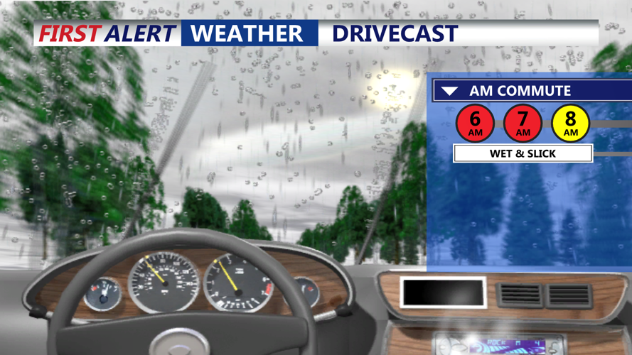
Motorists should prepare for potentially hazardous travel conditions late Wednesday night into Thursday morning, particularly in inland areas where freezing rain could lead to ice accumulation on roadways. Road crews are likely to be out treating surfaces, but caution is advised, especially for the morning commute.
